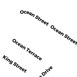
17 KINGS BEACH TR
Owner Information
TENENBAUM NATALYA
17 KINGS BEACH TER
SWAMPSCOTT, MA 01907


Property Details
17 KINGS BEACH TR is classified as a Single Family Residential (Ranch).
The primary structure on this property was built in 1933. There are 1,707ft2 of built area within this property. There is 1,707ft2 of residential/living space within this property. This property is listed as having 6 rooms.
17 KINGS BEACH TR is valued at $515,000. The land is valued at $253,300 and the structures are valued at $261,200. There is an additional valuation of $500 on this property.
This property is in Zone A4. Confirm with local Zoning Board authorities to ensure there are no overlays or other easements on this property.
The most recent deed for 17 KINGS BEACH TR is recorded at the local registrar in Book 92490, Page 558. 17 KINGS BEACH TR was last sold on Friday, May 3, 2019 for $1.
Assessment data from fiscal year 2022.
Flood Data
This property is completely within the AE Zone (within floodplain).
The base flood elevation for this flood zone is 14 feet.
This information is sourced from the FEMA National Flood Hazard Layer. See our full disclamer.
Broadband Internet Providers
| Provider | Type | Bandwidth (mbps) | |
|---|---|---|---|
| Verizon New England Inc. | DSL | 7 | 0 |
| Viasat Inc | Satellite | 100 | 3 |
| VSAT Systems, LLC. | Satellite | 2 | 1 |
| HughesNet | Satellite | 25 | 3 |
| GCI Communication Corp. | Satellite | 0 | 0 |
| Comcast | Cable | 1000 | 35 |
| Verizon New England Inc. | Fiber | 940 | 880 |
Broadband service provider data from December 2020.